Ptarmigan Traverse: July 12-13 2025
Writing down some thoughts and details, and sharing some pictures from the weekend. Not meant to be an extensive trip report.
I got a text from Sean on Monday afternoon, “Do you have any interest in doing a 2-day push of the Ptarmigan Traverse this weekend?” I replied quickly, “Oh shit. Not not down.”
I was eager to get into the mountains that weekend. And was hoping to do something fun and adventurous that did not necessarily involve a specific summit objective. Sean’s proposal seemed perfect.
I saw that Steph Abegg had just done an impressive single day push of the Ptarmigan the weekend prior and had taken dozens of photos and provided valuable beta. The majority of my prep and research came from her report.
On Friday afternoon we set up the car shuttle and parked at the Cascade Pass Trailhead for some dinner and sleep. Start time on Saturday was planned for 4am.
Trailhead to Cascade Pass:
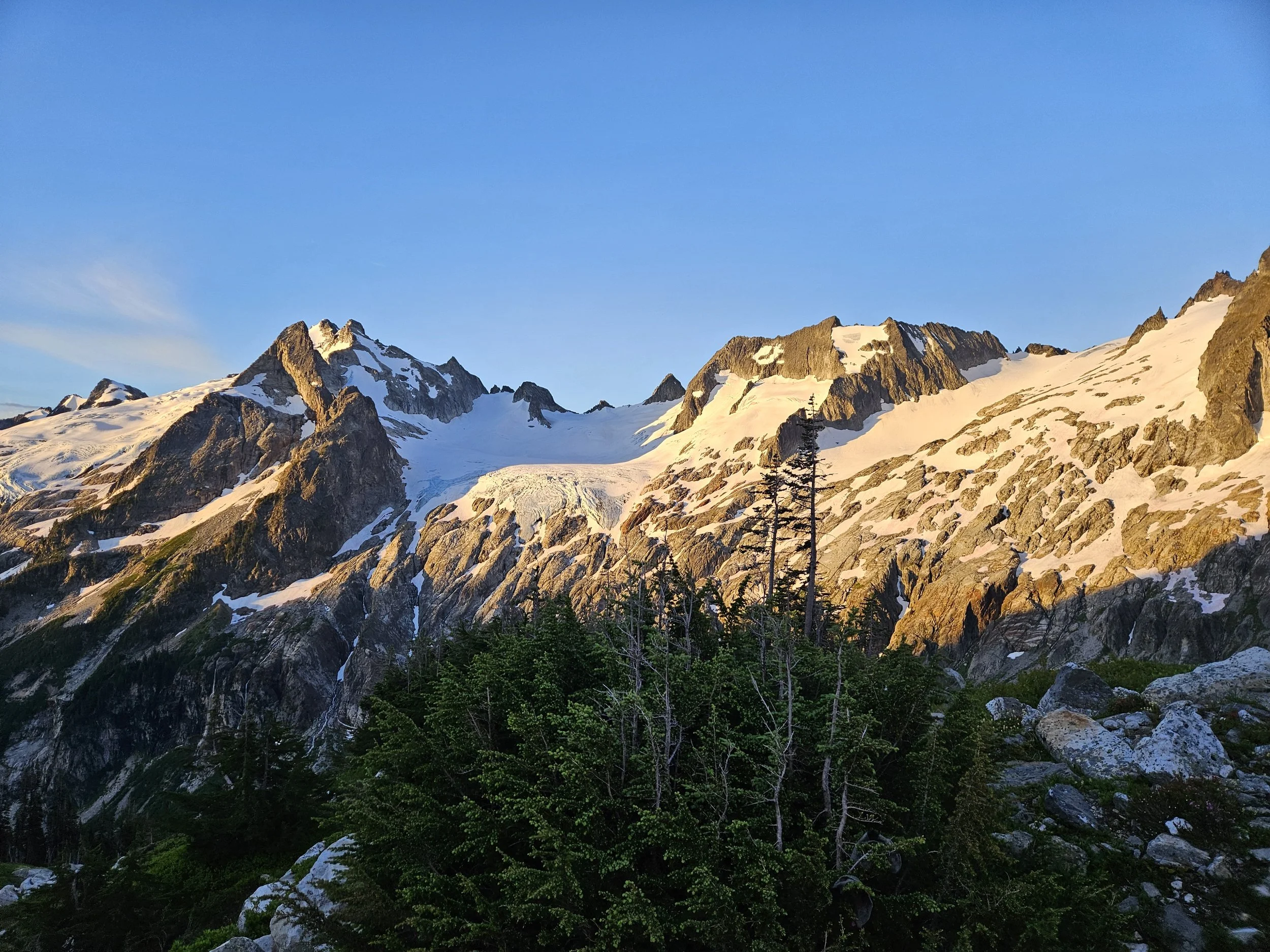
Headlight start but the sun came quick. This was my second time up at Cascade Pass, it’s hard to beat the view for how close it is to the trailhead.

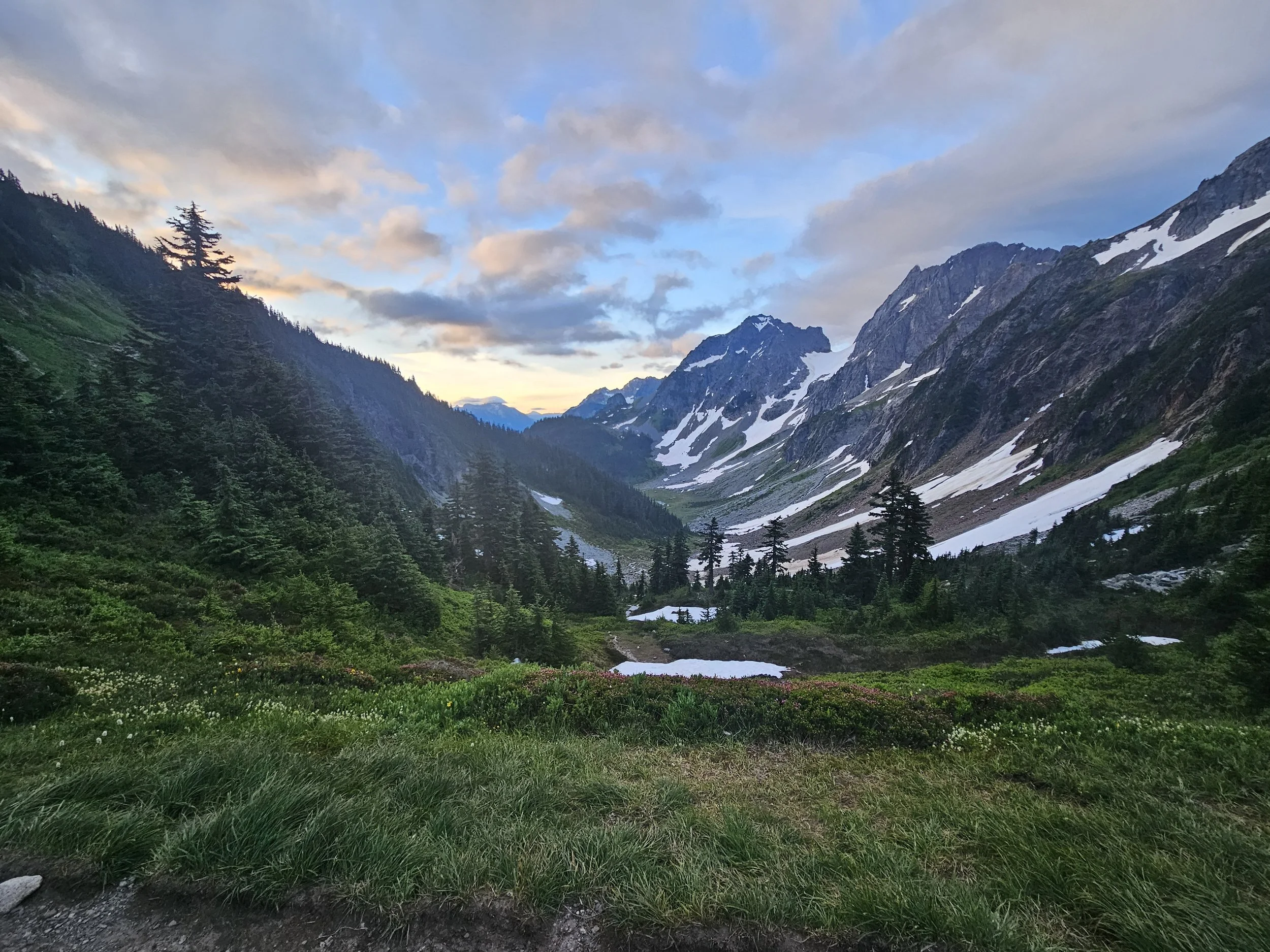
Cascade Pass, looking east
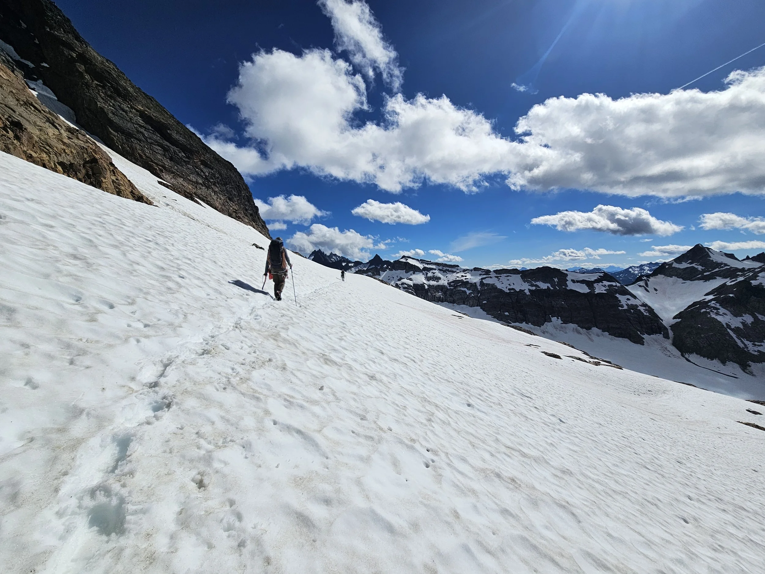
Cascade Pass to Cache Col:
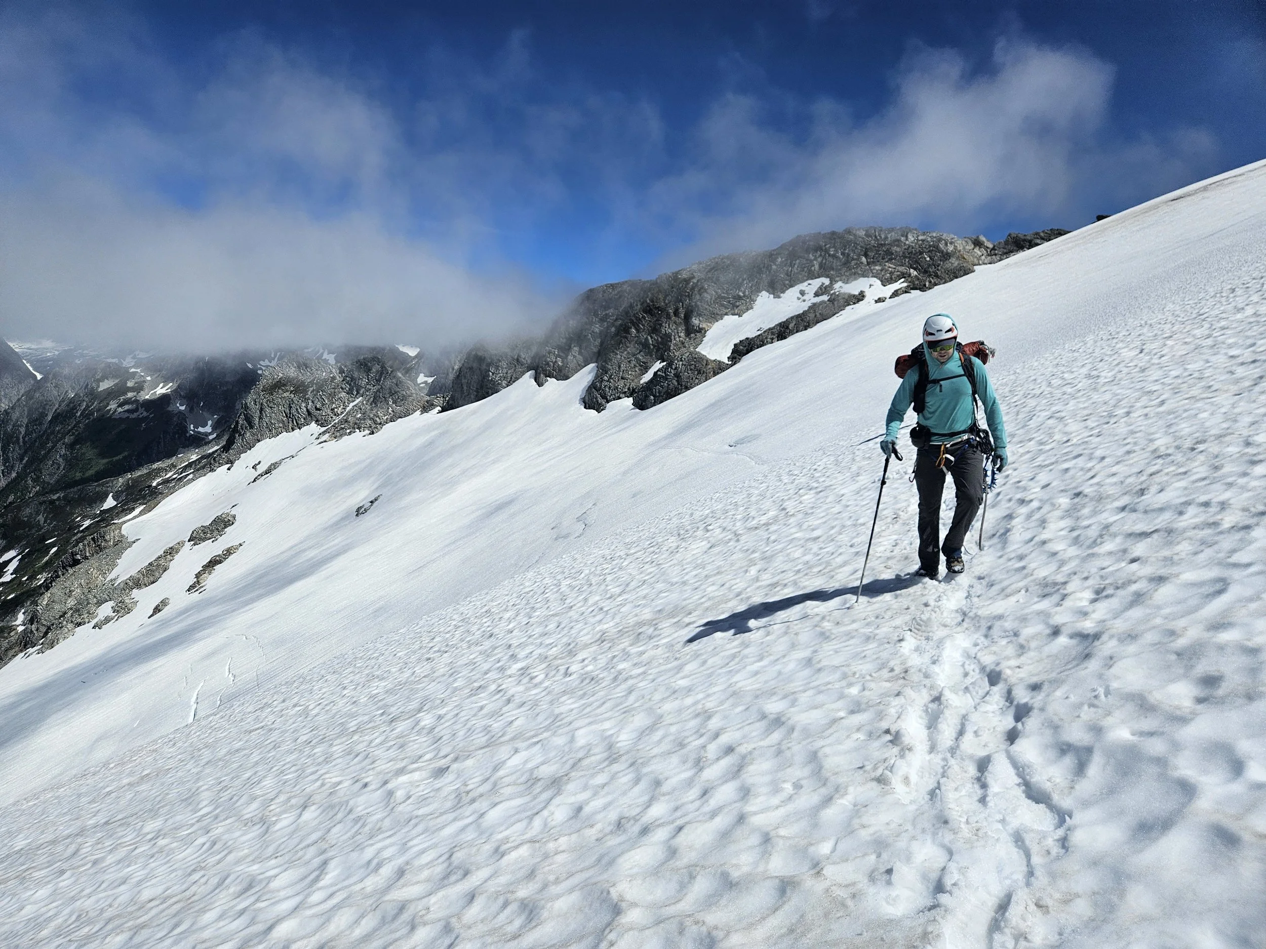
Shortly after the toilet at Cascade Pass we took at right when we should have taken a left at an intersection that wasn’t really an intersection. We found ourselves above a cliff that we needed to be below and decided to eat the loss and backtrack to the intersection. An annoying little self-inflicted diversion. There was some snow in this section to traverse, it was steepish and somewhat firm in the morning.

Sean and Michael crossing the snow above Cascade Pass
Looking at our path towards the Cache Glacier. We would end up crossing over at the notch in the center of the photo.
Snow to ground transition at the top of the Cache Glacier.
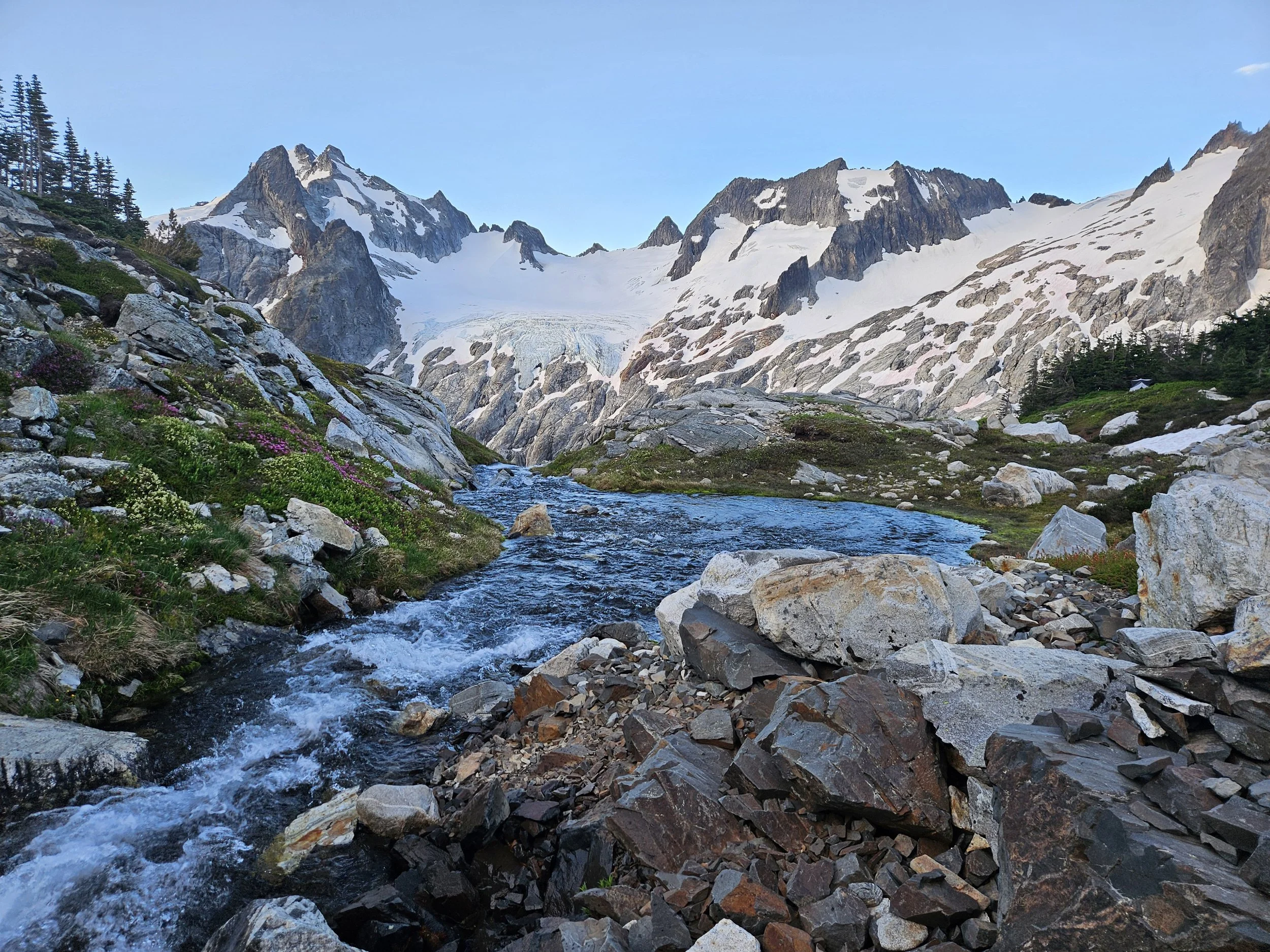
Cache Col to Kool Aid Lake:
Easy hiking. The overnight clouds had not quite burnt off so the views were not there yet. We saw a mama bird and some babies. Ptarmigan or grouse?

Two little babies off to the right of the adult.
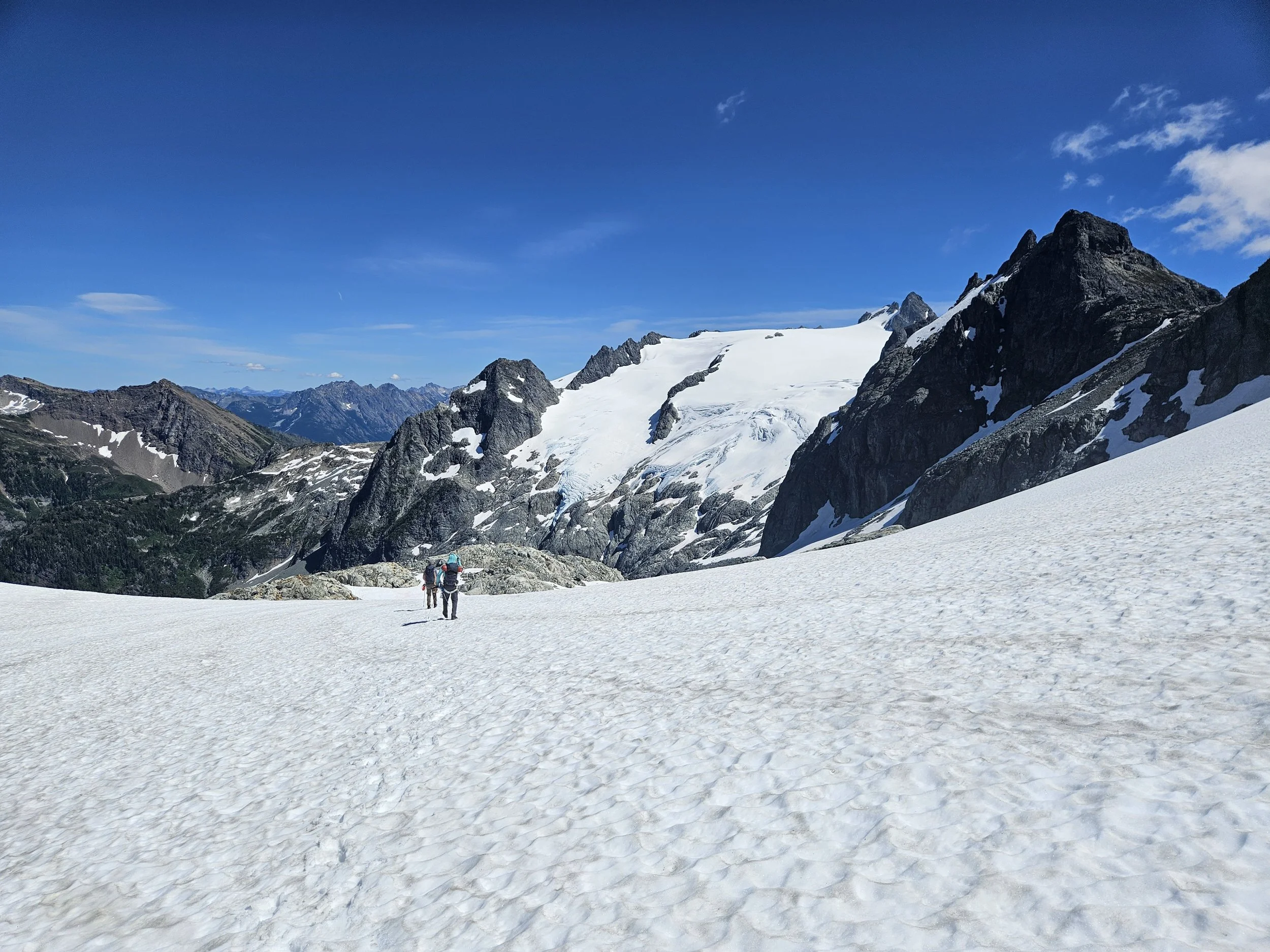
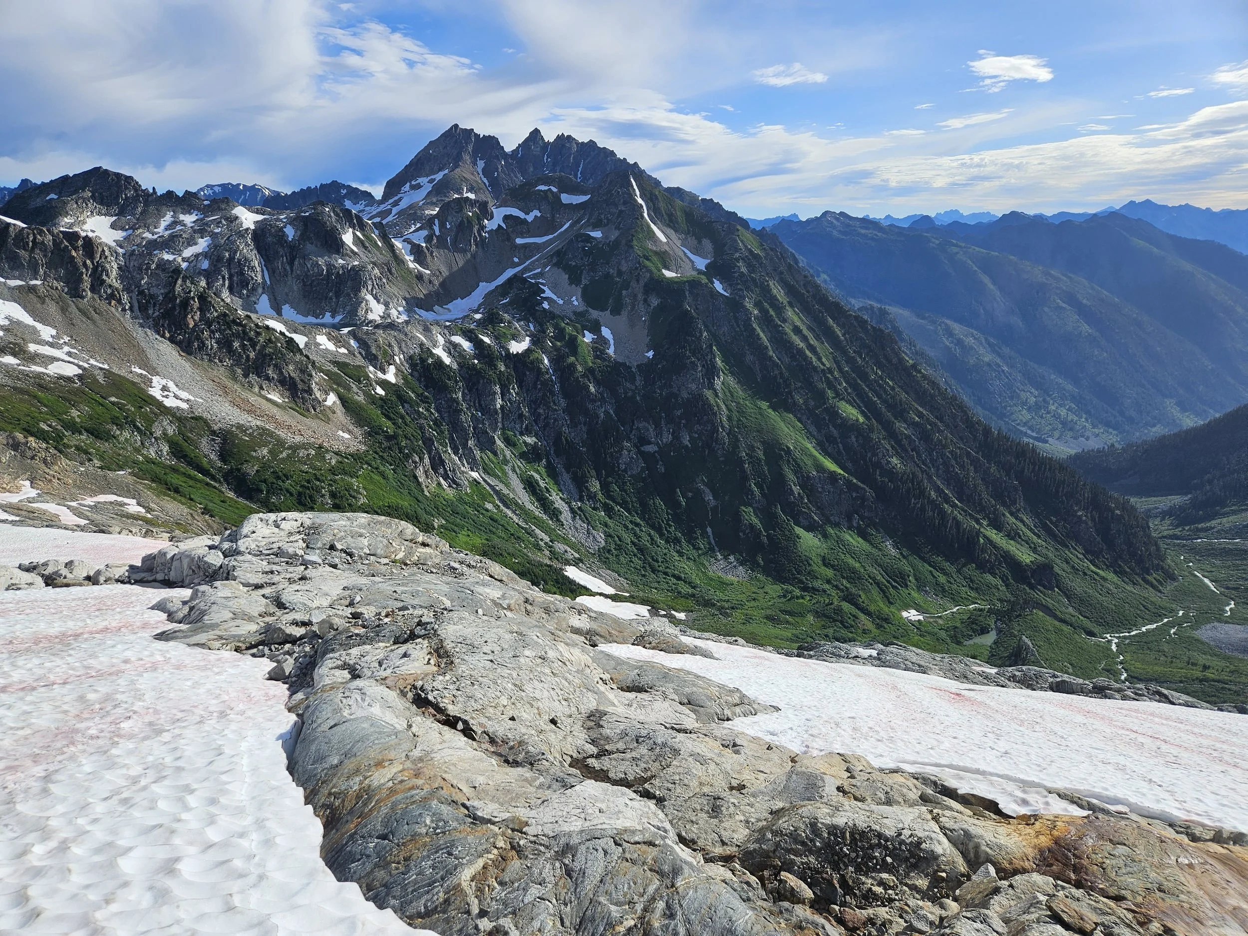
Kool Aid Lake to Spider-Formidable Col:
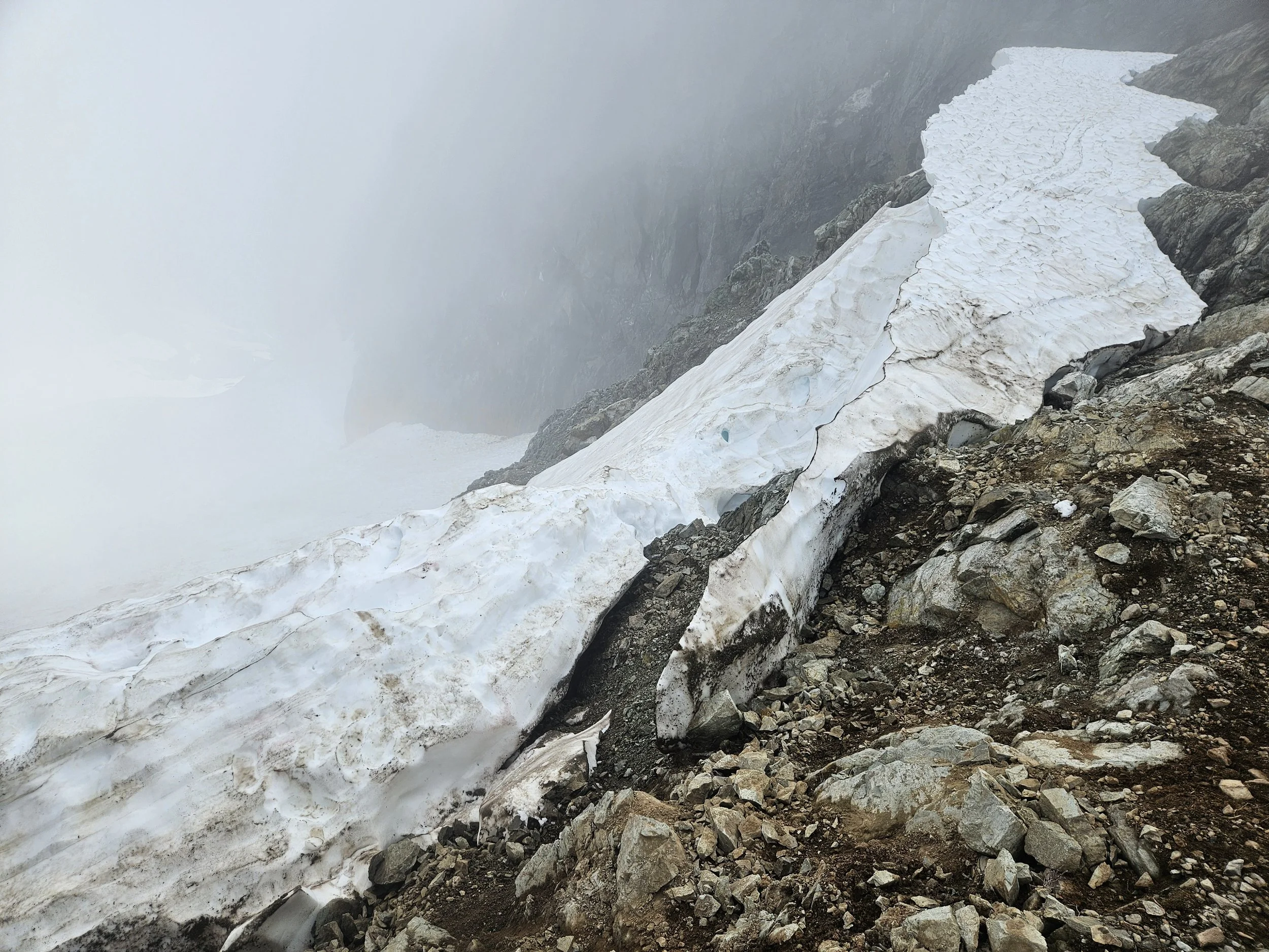
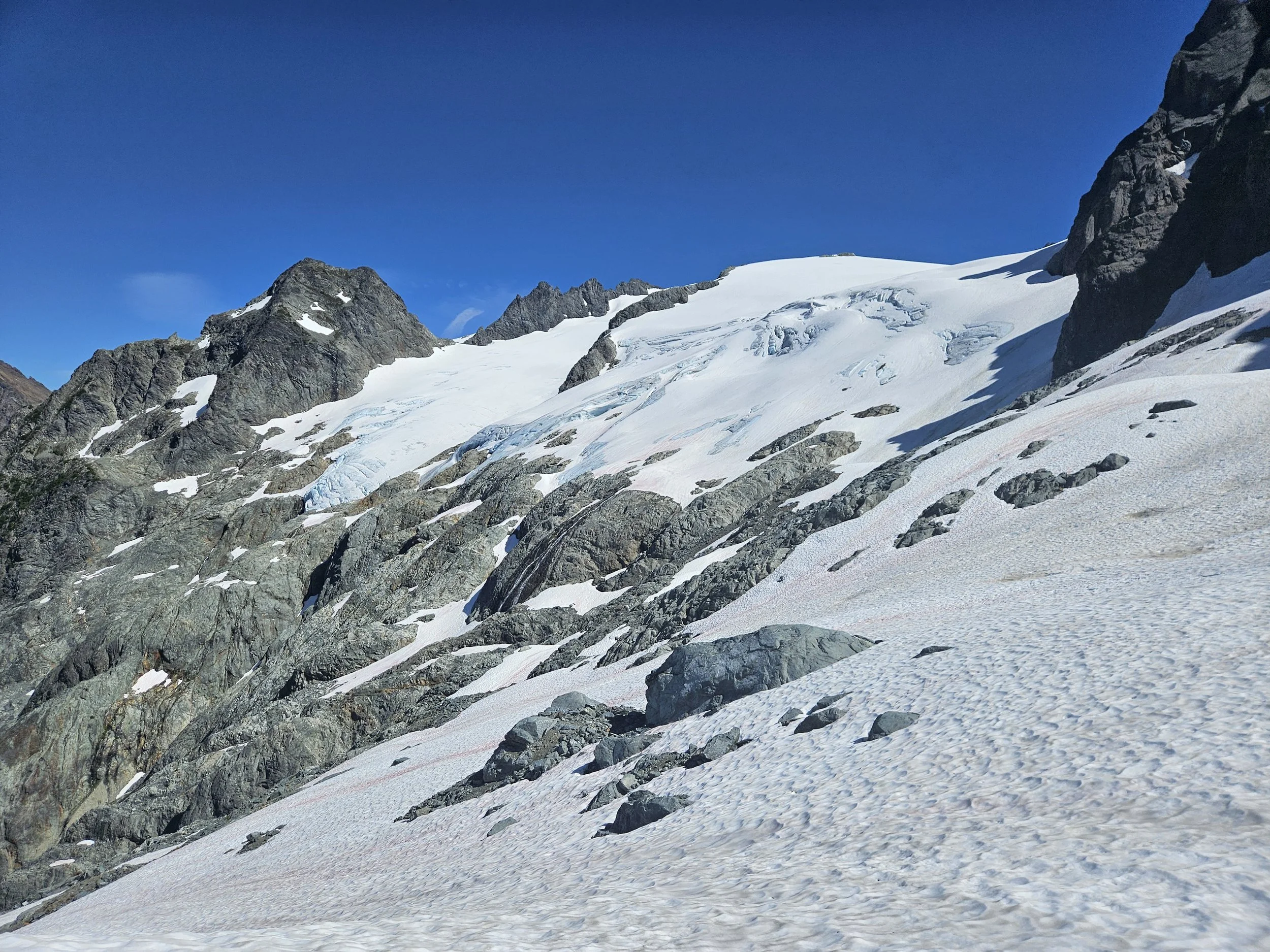
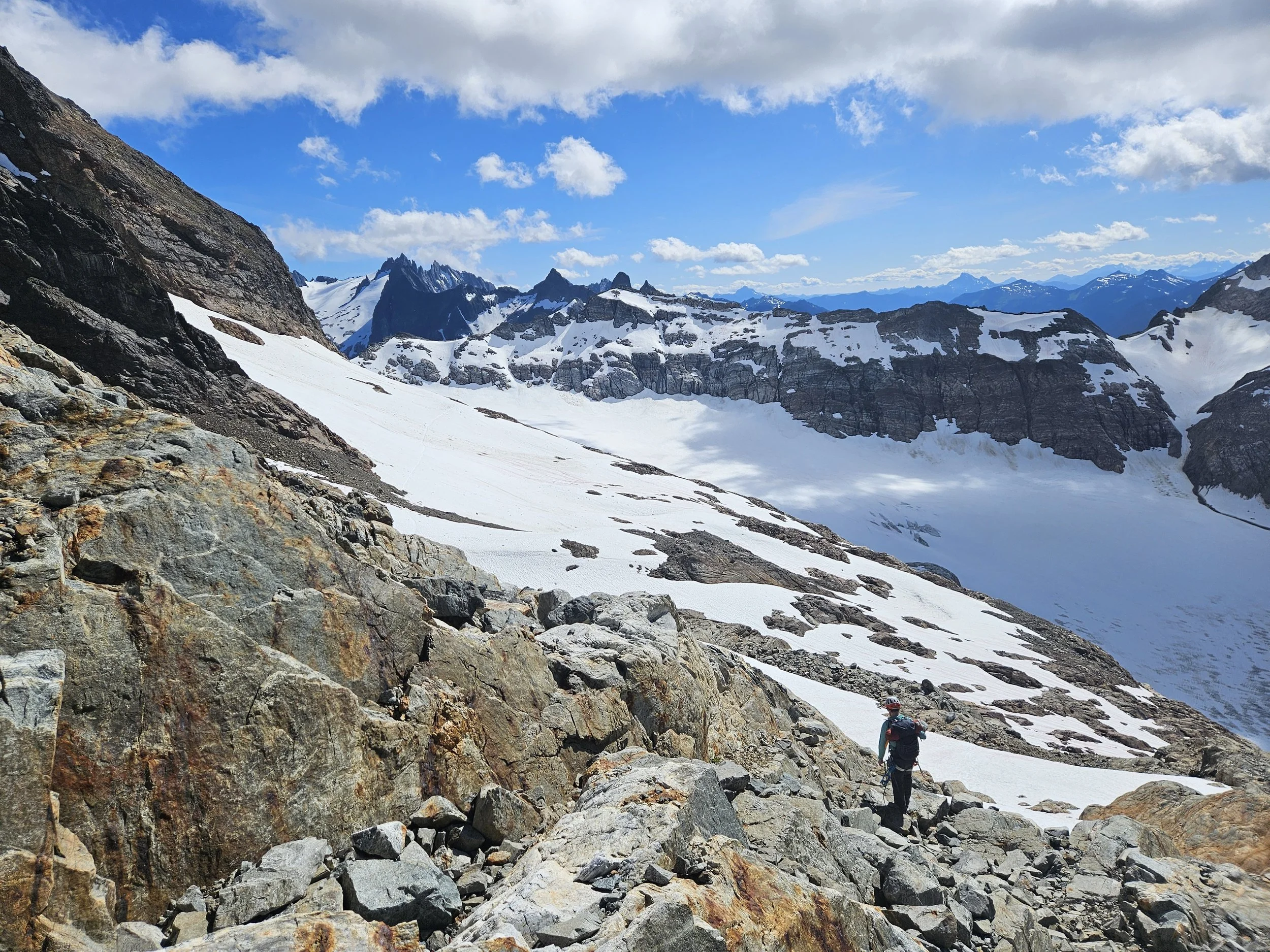
This section involved an interesting snow to rock transition to gain the “Red Ledges”. It’s highly conditions dependent on the best way to cross. We climbed down into the melting gap between rock and snow to the left of the main snow finger and essentially scrambled up and over some weak looking snow to get on the ledge. We continued hiking to the Middle Cascade Glacier where we saw two fellow traversers slightly ahead of us. The cloud cover that was hiding Formidable for most of this section started to burn off as we approach the Col. On the Middle Cascade Glacier we crossed near one crack that was beginning to open up but was very thin. The trail went well above all other visible cracks.
Each col we went up and over provided an new beautiful landscape for us to take in during that next section. It was always exciting seeing what view was waiting for us at each col crossing.
Formidable in the clouds
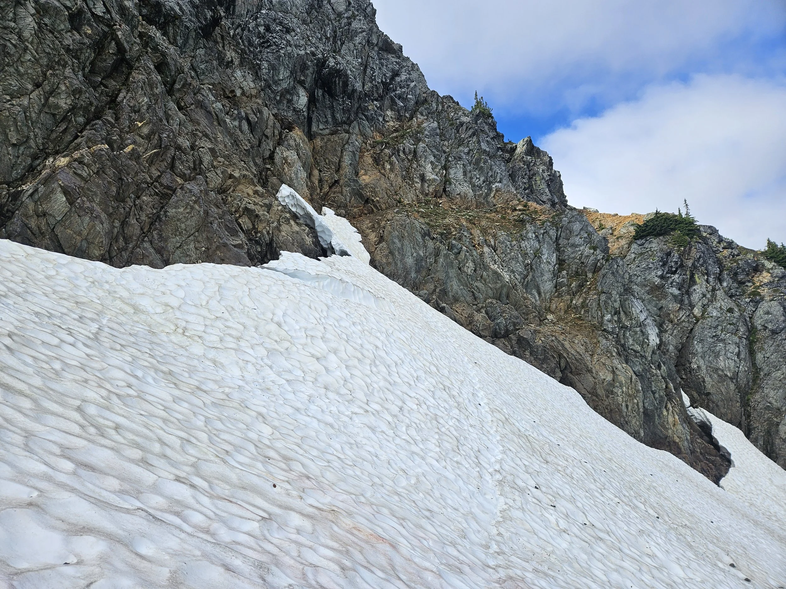
The melting snow finger leading to the Red Ledges. We climbed down into the gap in the snow to the left of this photo.
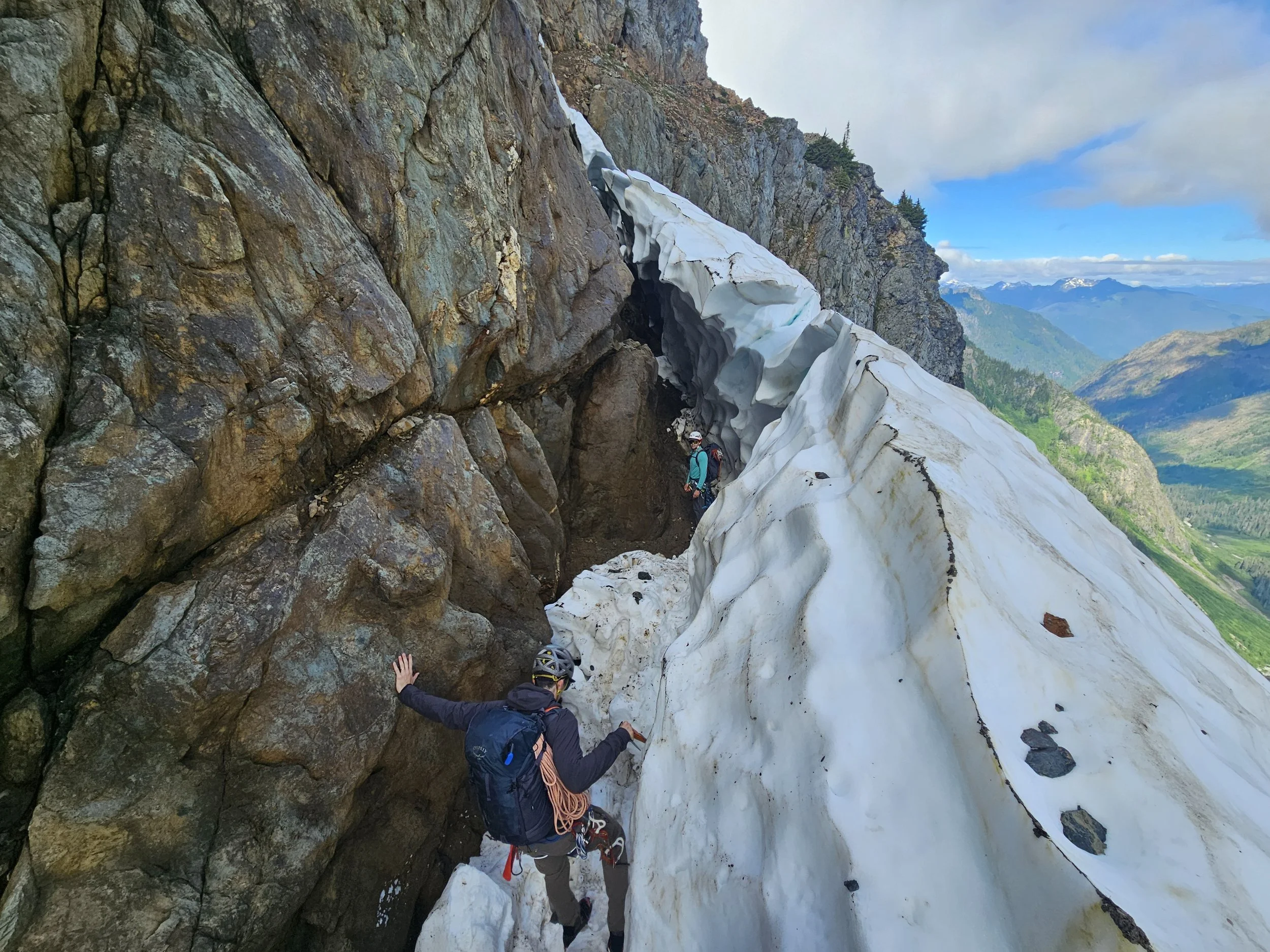
Down,
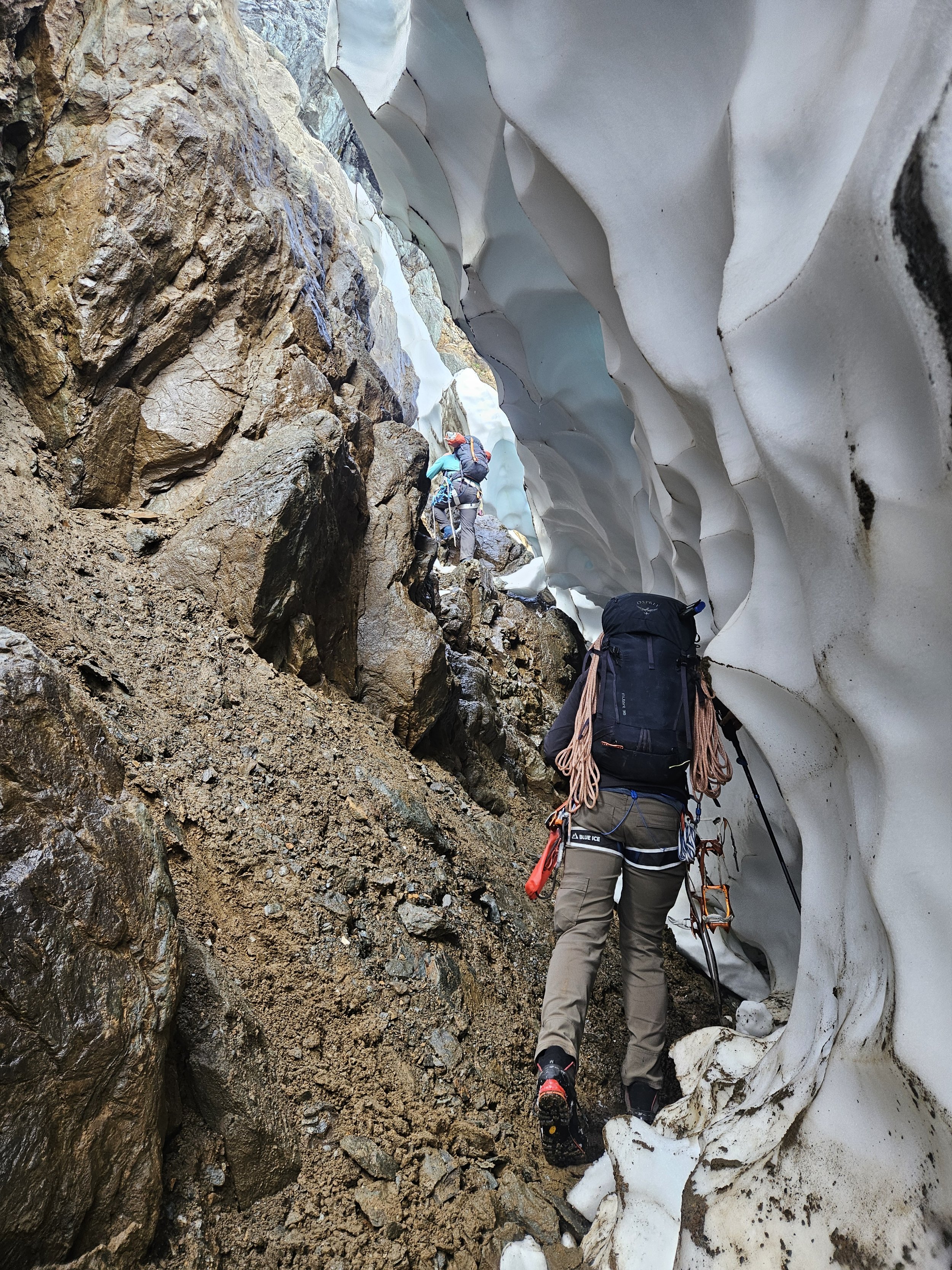
Through,

And over.
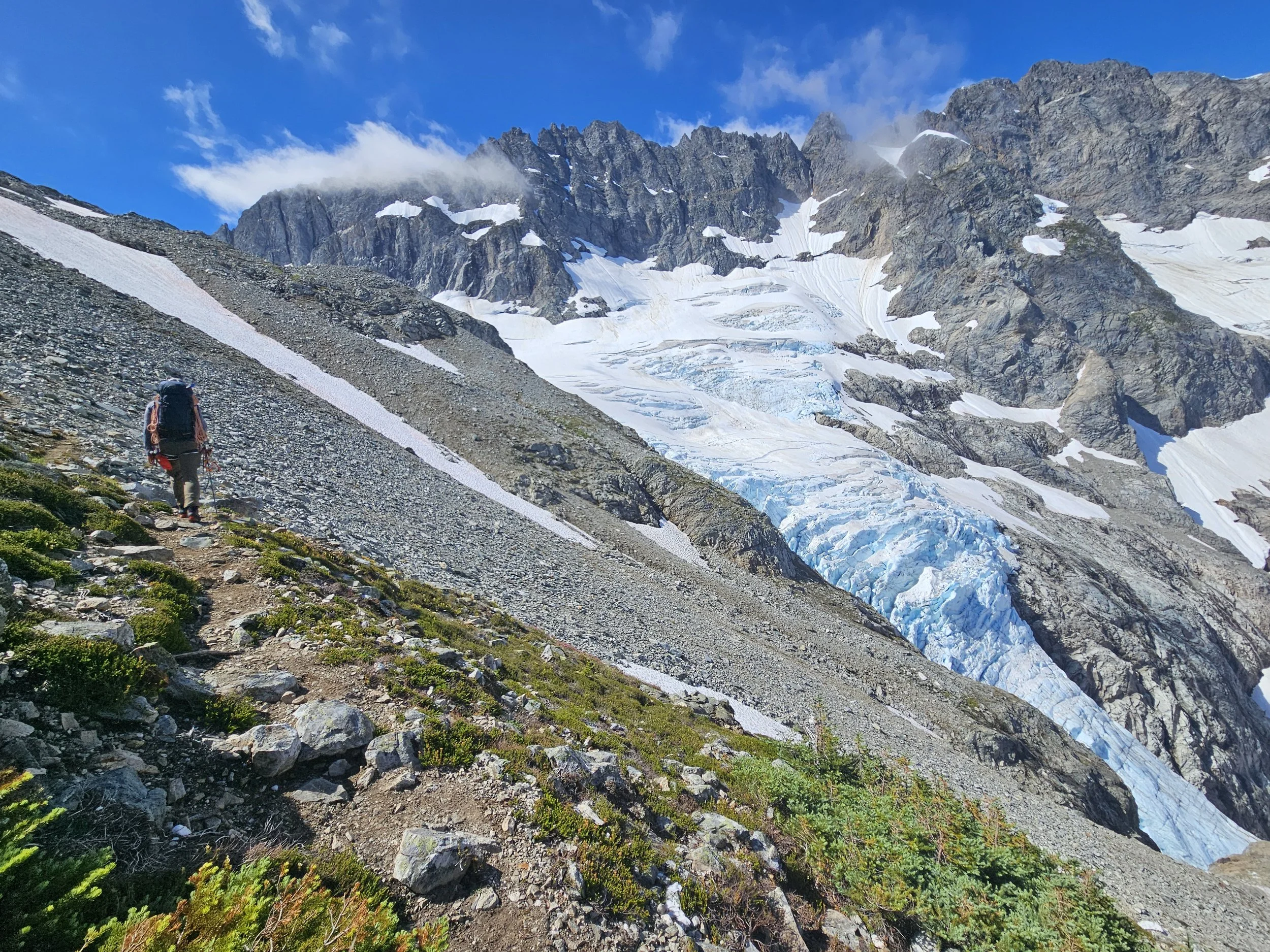
Hiking towards the Middle Cascade Glacier as the clouds cleared up.
Sean crossing the top of the Middle Cascade Glacier.
At the Spider-Formidable Col.
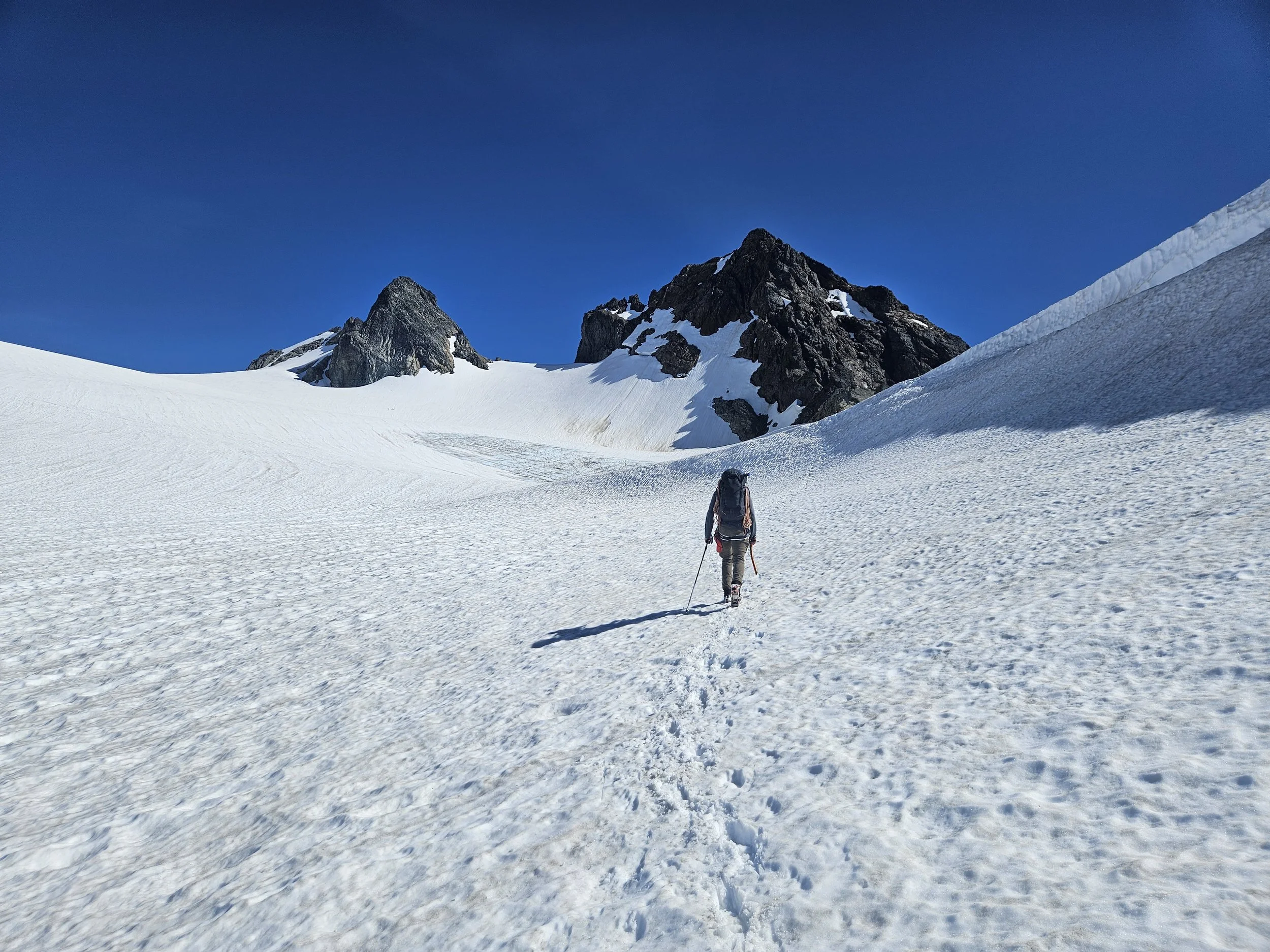
Spider-Formidable Col to Yang-Yang Lakes:
We found some steep snow to descend on the back side of the Spider-Formidable Col. Once at the bottom we hiked around the bowl to Yang Yang lakes.
On the trail to Yang Yang. Le Conte looming in the background. We saw the packs of some scramblers heading up Formidable.
Yang-Yang Lakes to Le Conte-Sentinel Col:
We took a sit break at Yang Yang and chatted with a hiker who was spending a week enjoying the mountains. He reminded us that we still had a long way to go when we told him where we were hoping to camp that night at White Rock Lakes.
Quickly after Yang Yang we climbed a boulder field and some steep snow to get on the ridgeline leading up towards Le Conte. We hiked on rock and snow below the three peaks of Le Conte to the Le Conte-Sentinel Col.

Above Yang Yang looking back at Formidable. Michael taking a photo of the Spider-Formidable Col that we went up and over earlier that day.

Moving towards the Le Conte-Sentinel Col.
Still moving towards the Le Conte-Sentinel Col.
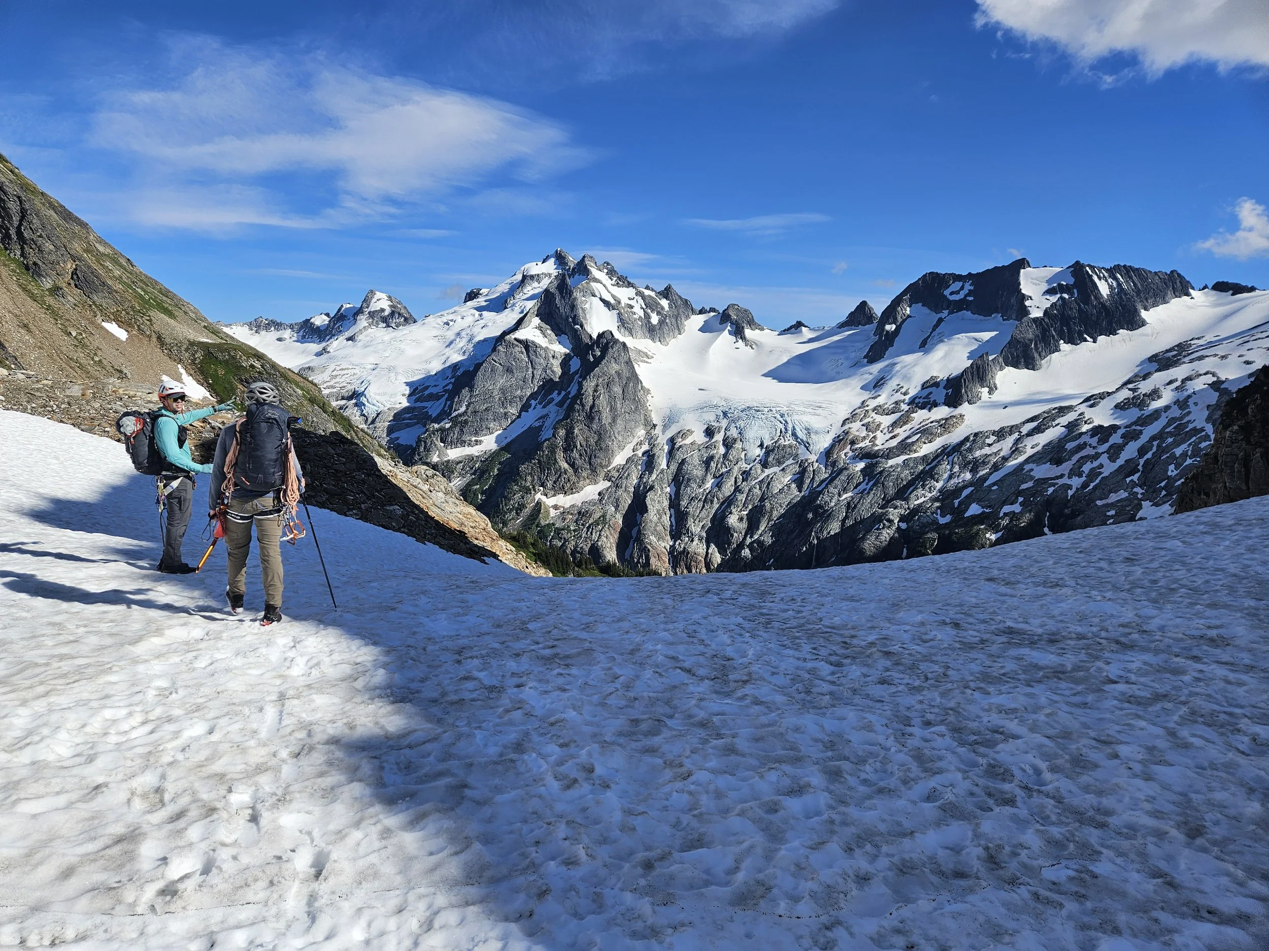
The Le Conte Glacier. Our route would have us hug the cliffs to the right sticking to the snow.
Up towards the Le Conte-Sentinel Col.
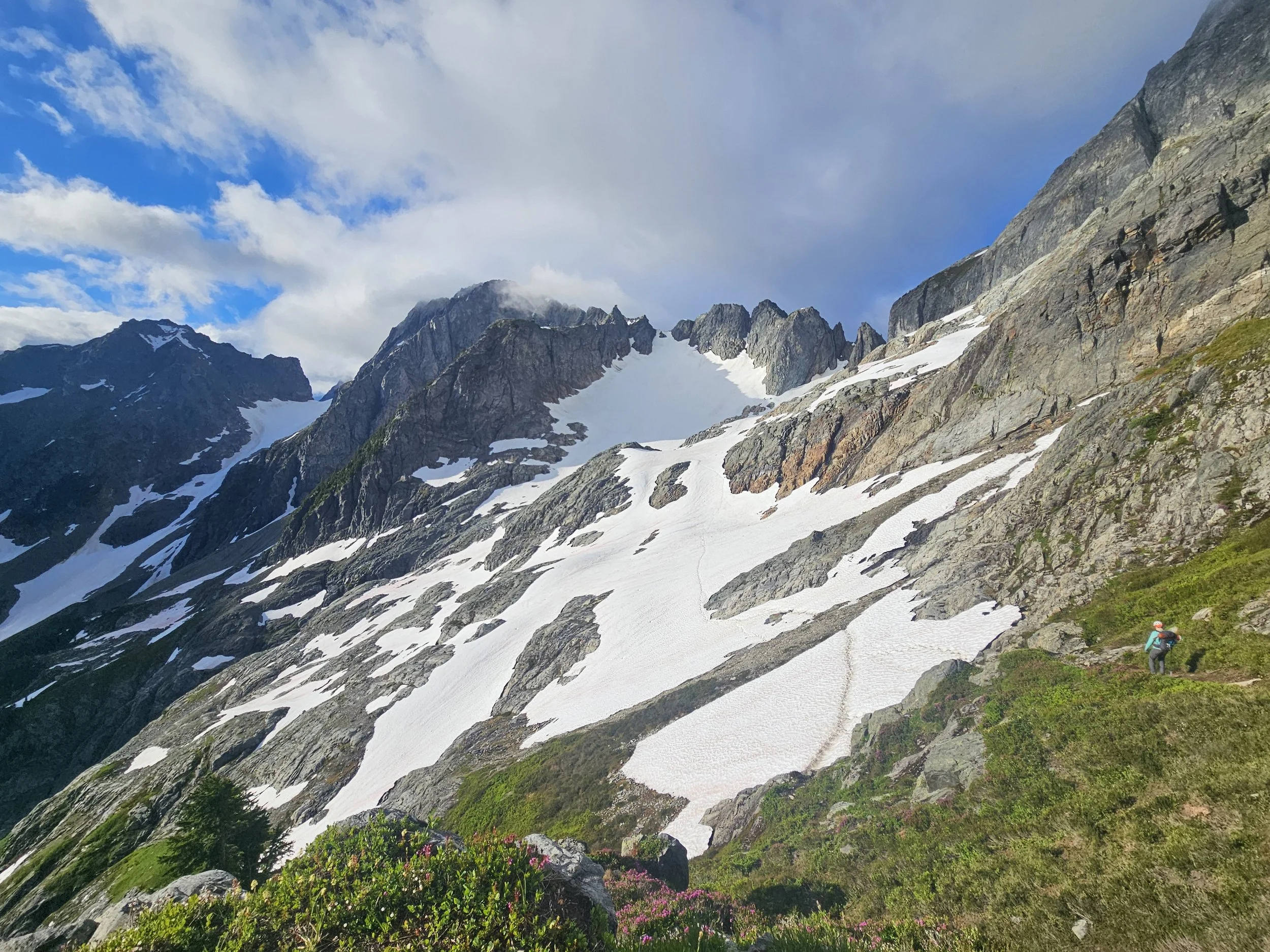
More mountain beauty waiting for us at the Le Conte-Sentinel Col
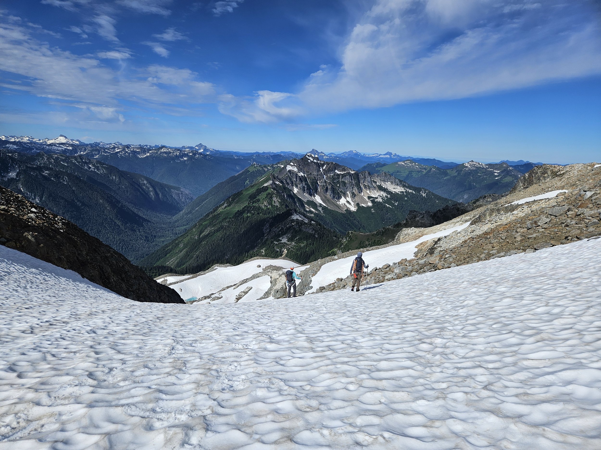
Le Conte-Sentinel Col to Lizard Col:
There were a few snow to rock transitions from col to col but the terrain was mostly mellow. It was at this point I started to feel like we were getting close to White Rock Lakes and a place to rest for the evening.
Coming down the Le Conte-Sentinel Col.
Moving towards the Lizard Col.
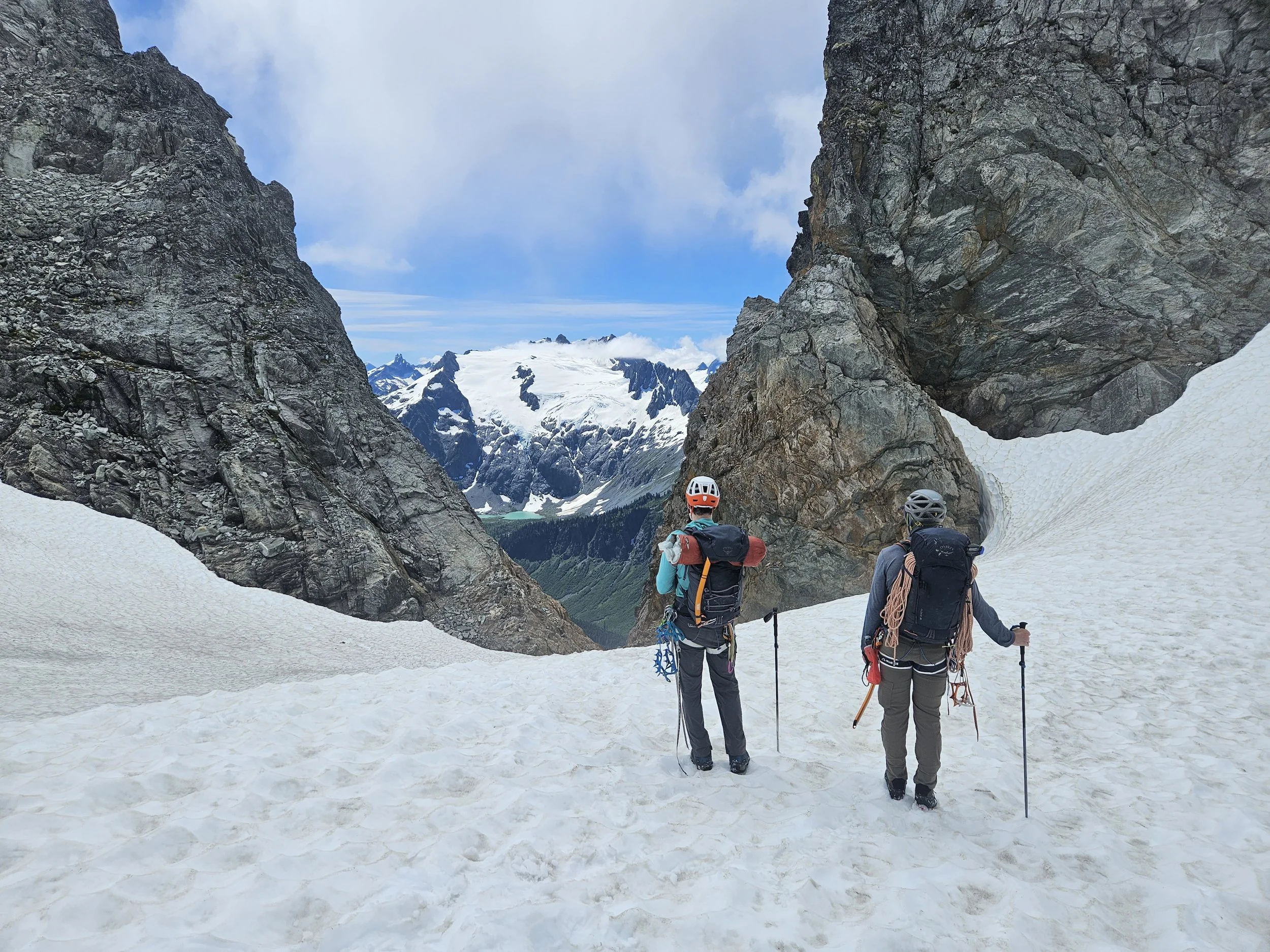
Lizard Col up ahead across the top of the South Cascade Glacier. And a chance to take off my boots on the other side.
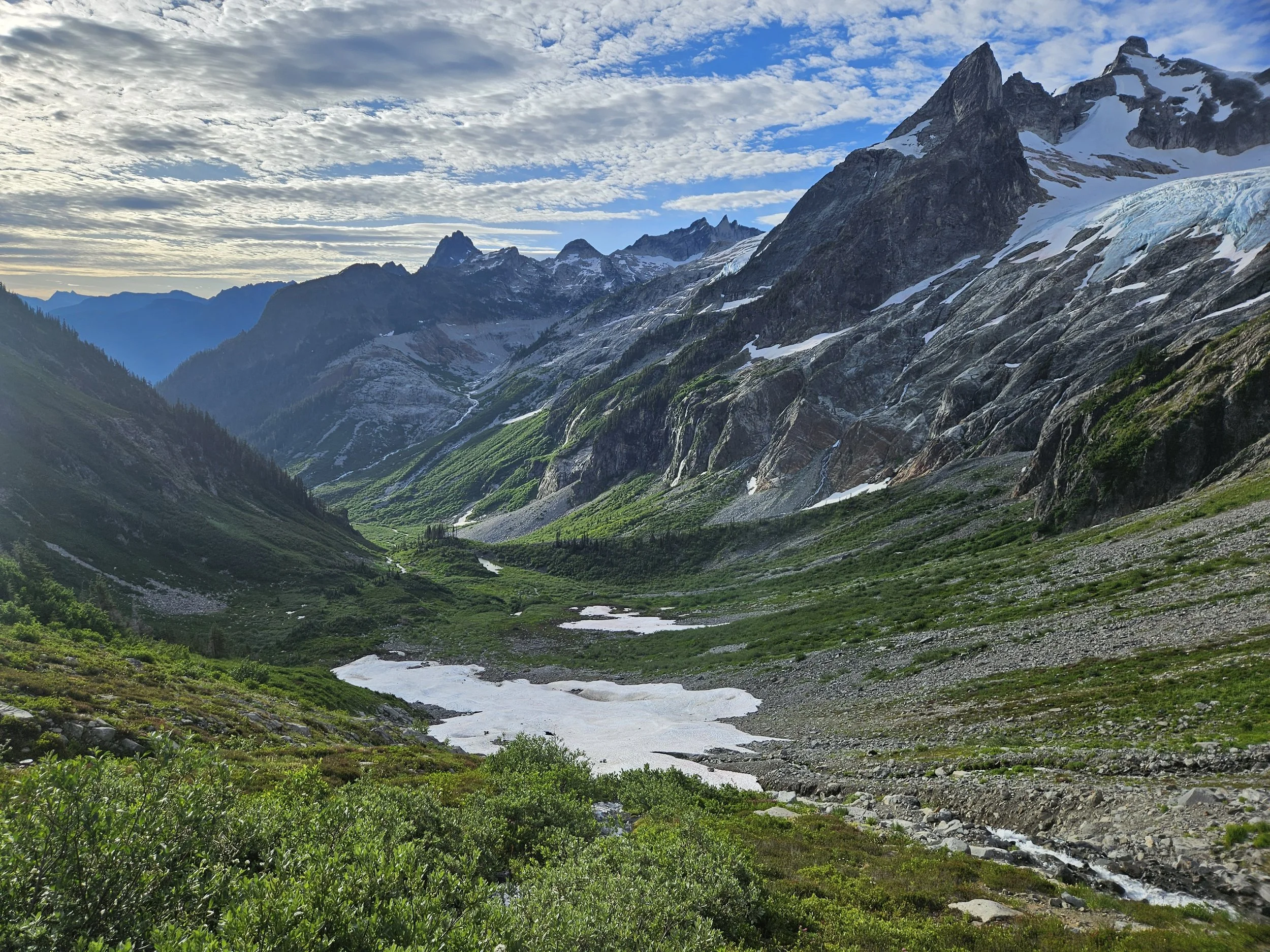
At Lizard Col. Looking at the Dana Glacier. Snow Dome and Dome Peak standing proud in the middle. White Rock Lakes below comes into view for the first time, but isn’t visible in the photo.
Lizard Col to White Rock Lakes:
There was some steep snow and loose crap to get down from Lizard Col and finally make it to the lakes where we would be camping for the night. We came across one party of two already set up. Tough to go wrong at this location when choosing a spot, we had beautiful views for our entire stay.
There was an alpine deer at White Rock Lakes that stole Michael’s ice axe and Sean’s trekking pole during the night. Keep your gear close. Luckily, we found both items near our campsite the next morning.

Camp at White Rock Lakes. Our route the next day would take us through the terrain in the right of the photo. We would go up and over just where the sun light ends to the right. It looks way worse than it is from White Rock and I spent a good 15 minutes staring at it, getting nervous-excited before I went to bed.

We are the lucky ones.
Morning sun at White Rock Lakes.

A nice place to fill some water.
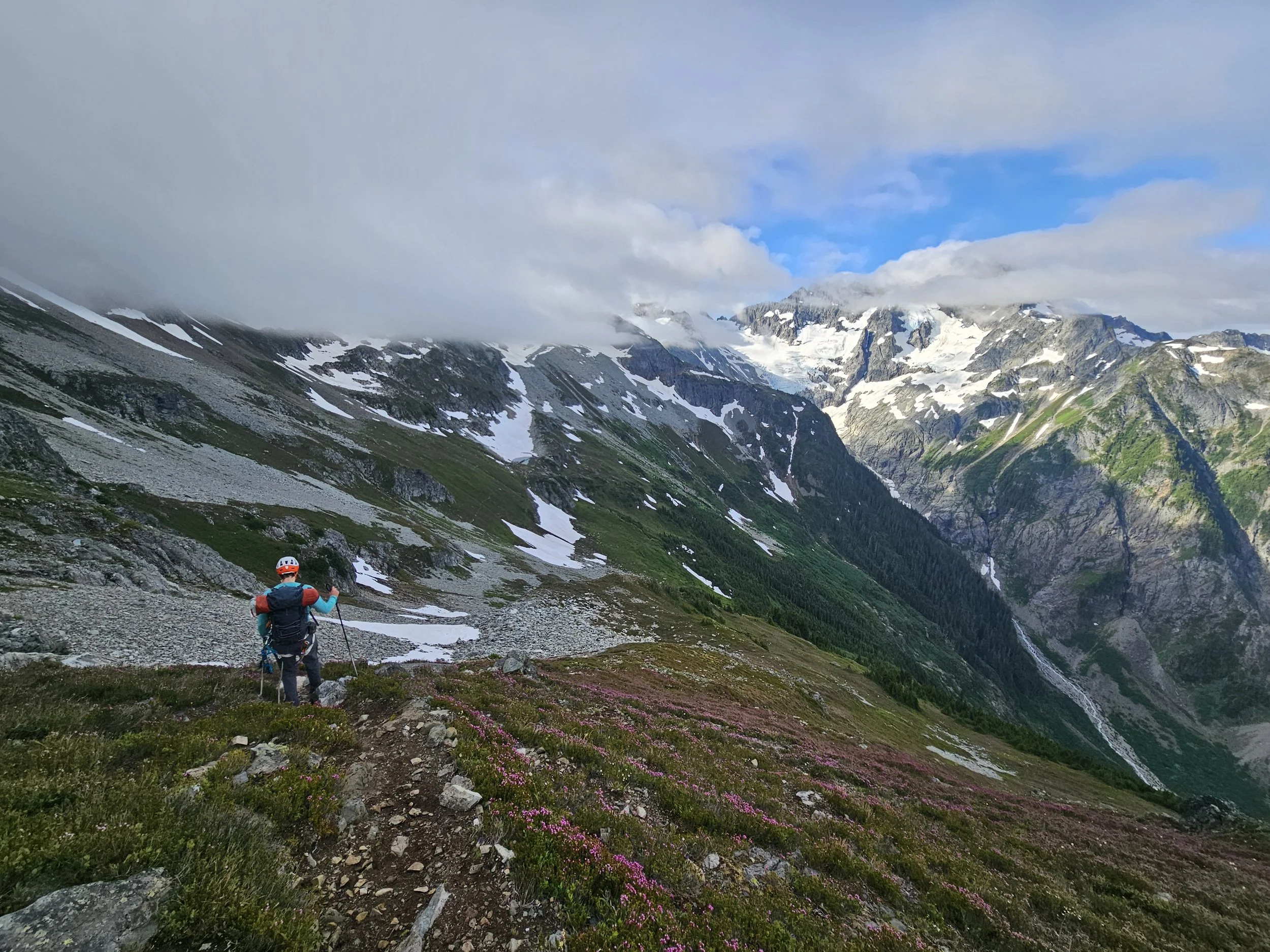
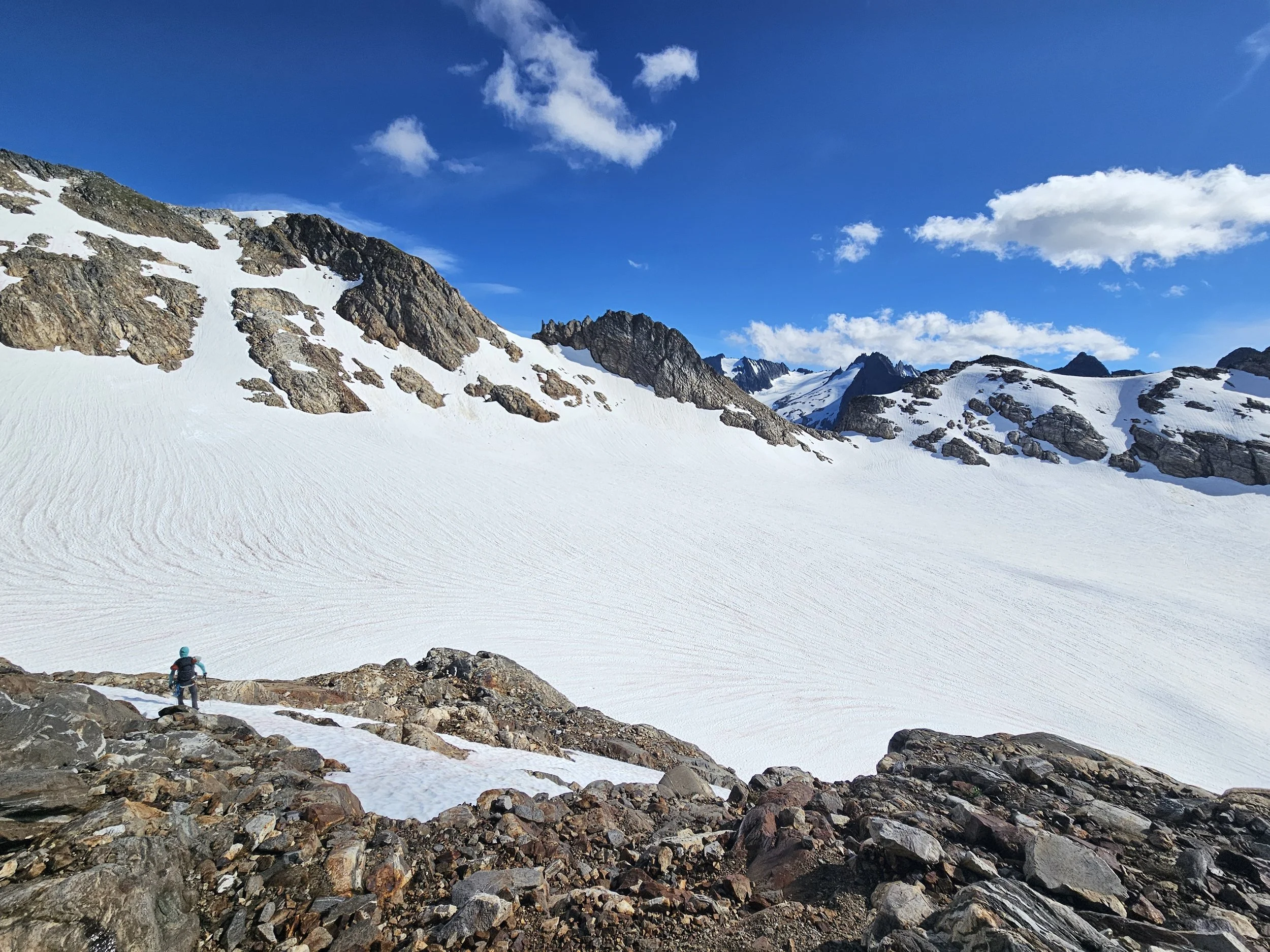
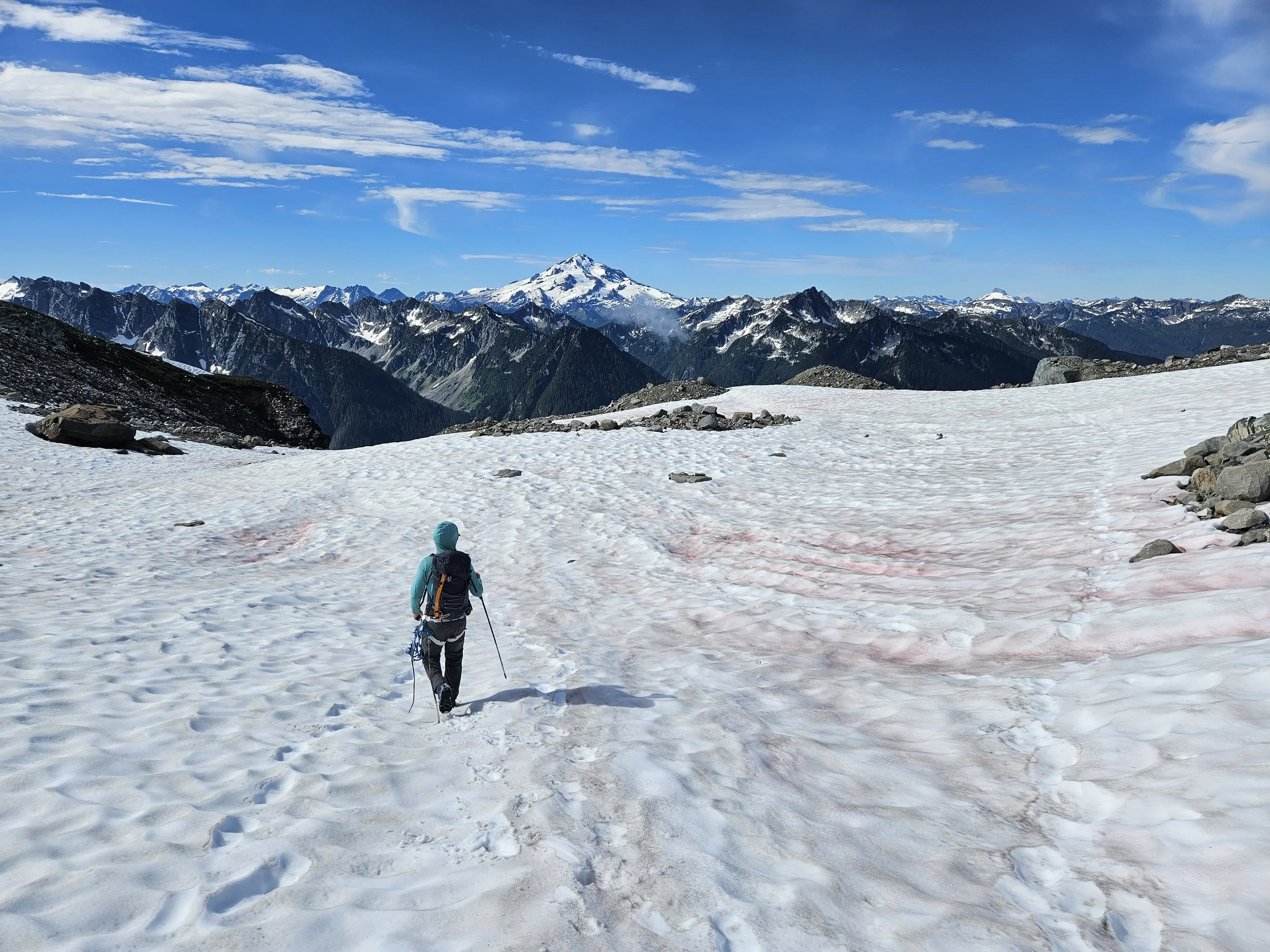
White Rock Lakes to Spire Col:
There was a short descent out of camp before we started going up and across the basin towards Spire Col. Once we got on snow, we stayed on snow until Spire Col. There was nothing too steep for the entire climb.
Great views down the valley on the trail towards Spire Col. The bottom of the Dana Glacier on the right.
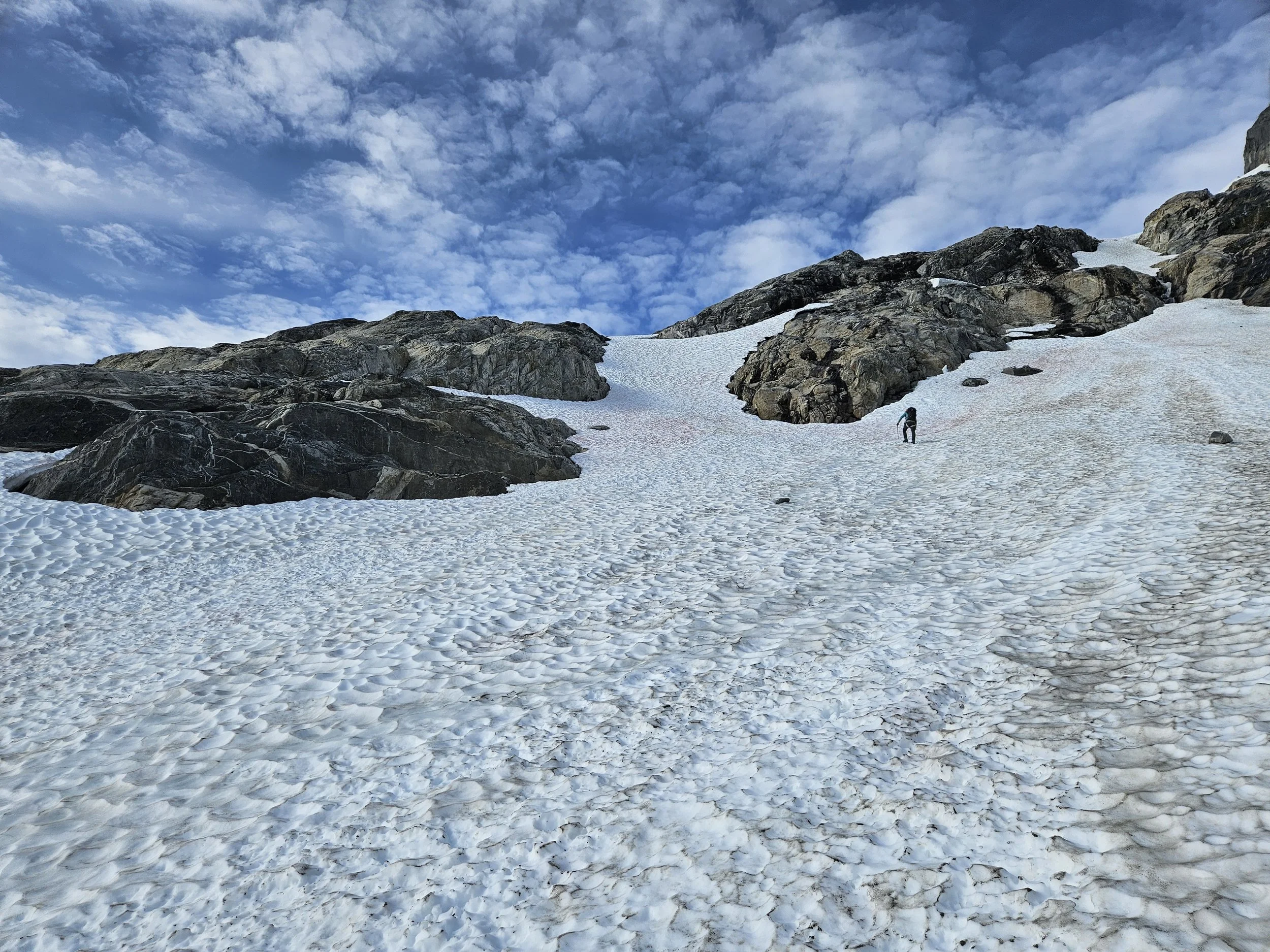
Moving on the snow towards Spire Col.
Looking back at White Rock Lakes. Perched above the vegetated cliffs in the middle left of the photo.

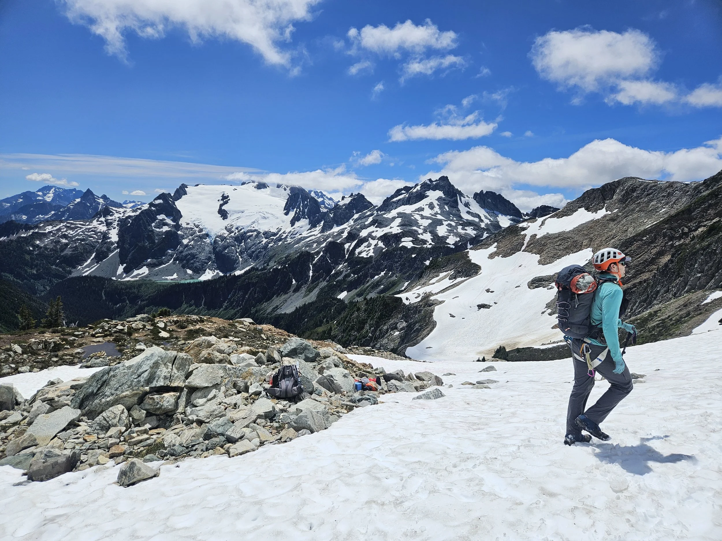
Trying to keep up with Sean, moving up the Dana Glacier.
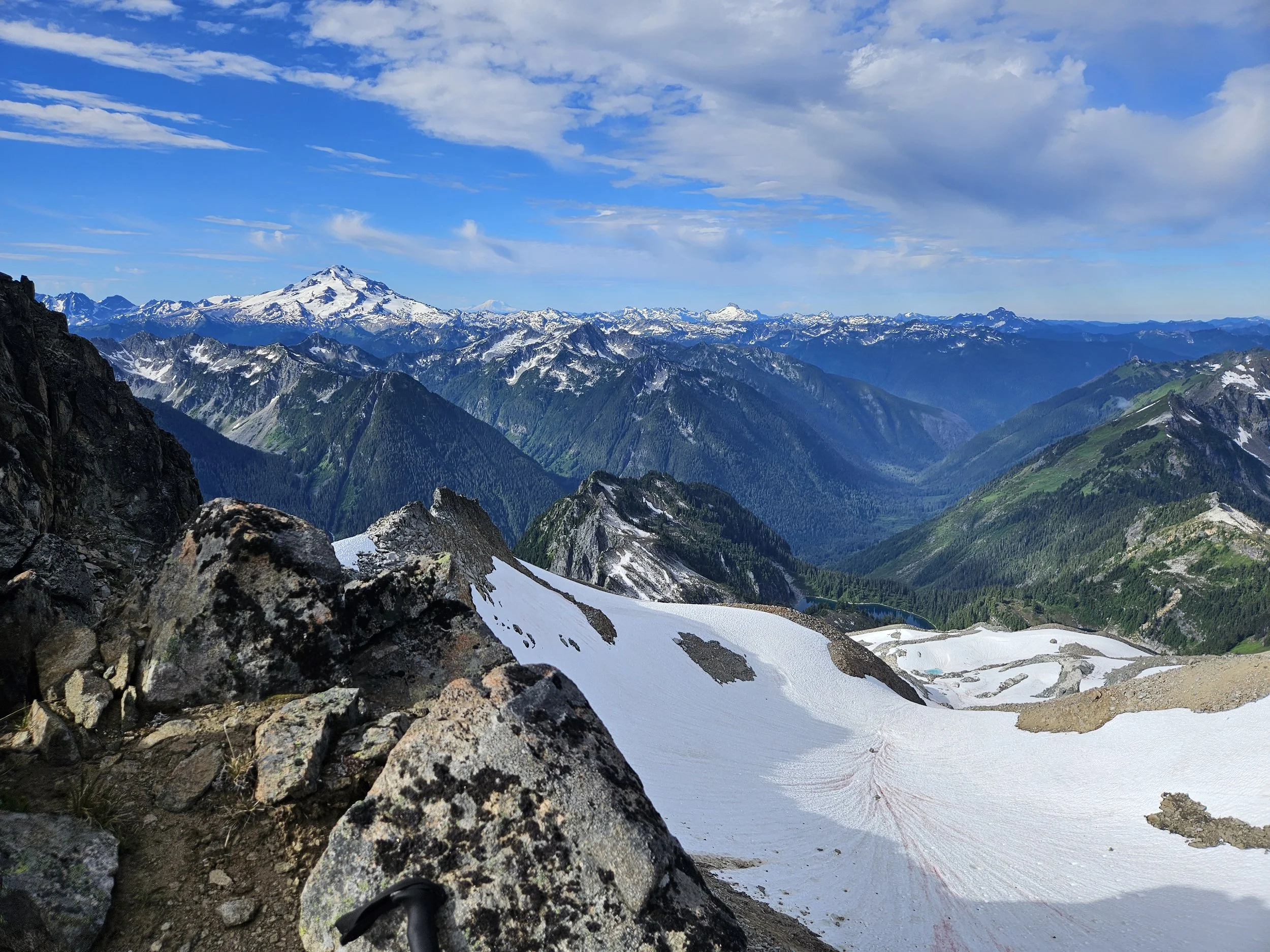
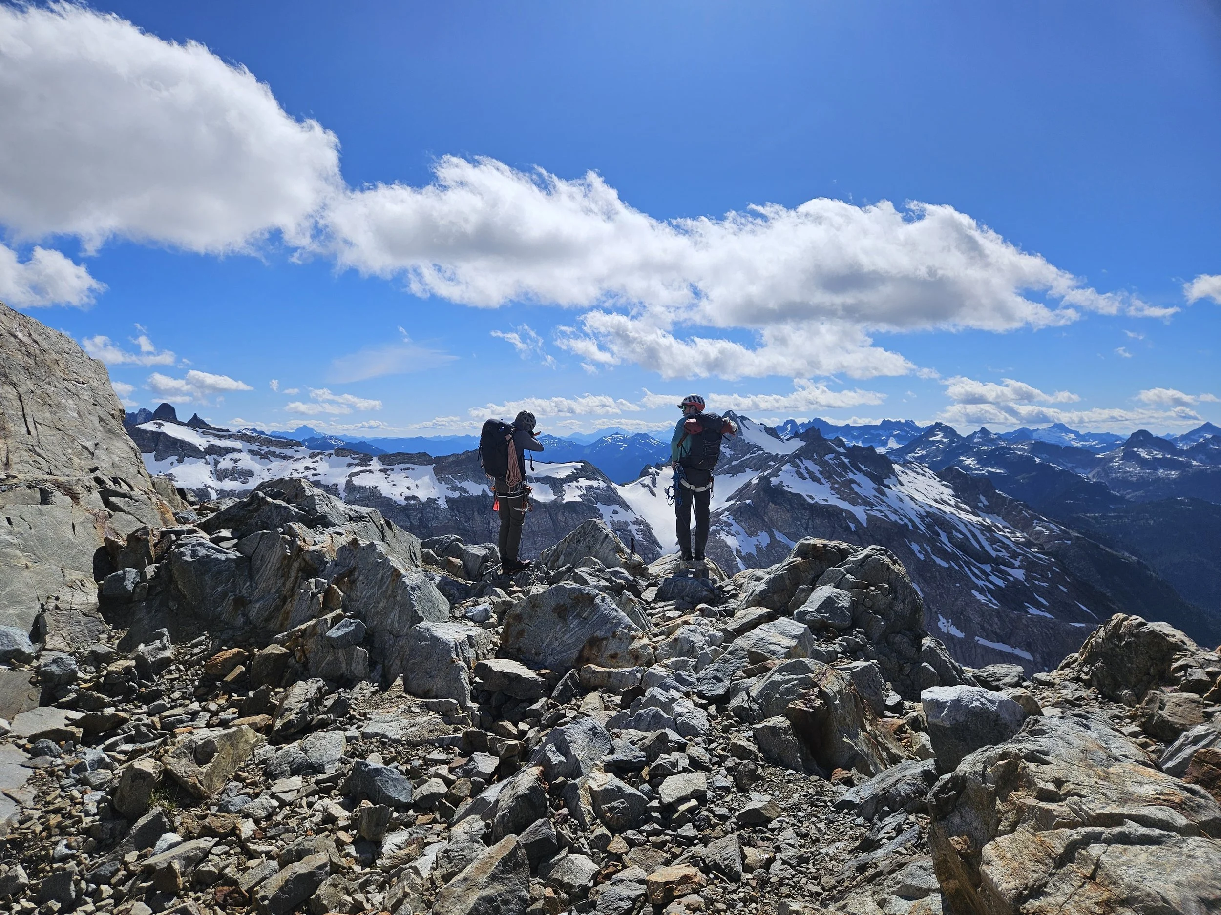
At Spire Col. Glacier Peak and Rainier come into view. Along with the peaks surrounding Mountain Loop Highway.
I really enjoy getting more familiar with Washington. Being able to identify peaks on sight. Remembering past experiences on those mountains.
Sloan Peak is the mostly snowy peak in the middle right of the photo. I summited Sloan Peak with Chris, Michael and Sean in 2022. And in 2023 hiked Glacier Peak with Chris and Michael.
Spire Col to Itswoot Ridge
There was some loose junk to descend after going over Spire Col which led to a snow bowl. That bowl is pictured in the last photo from the previous section. From there we initially traveled on snow but that transitioned to more rock as we got lower and snow was becoming sparse.
Heading down.
Excellent view of the north side of Glacier Peak.
Itswoot Ridge to Trailhead:
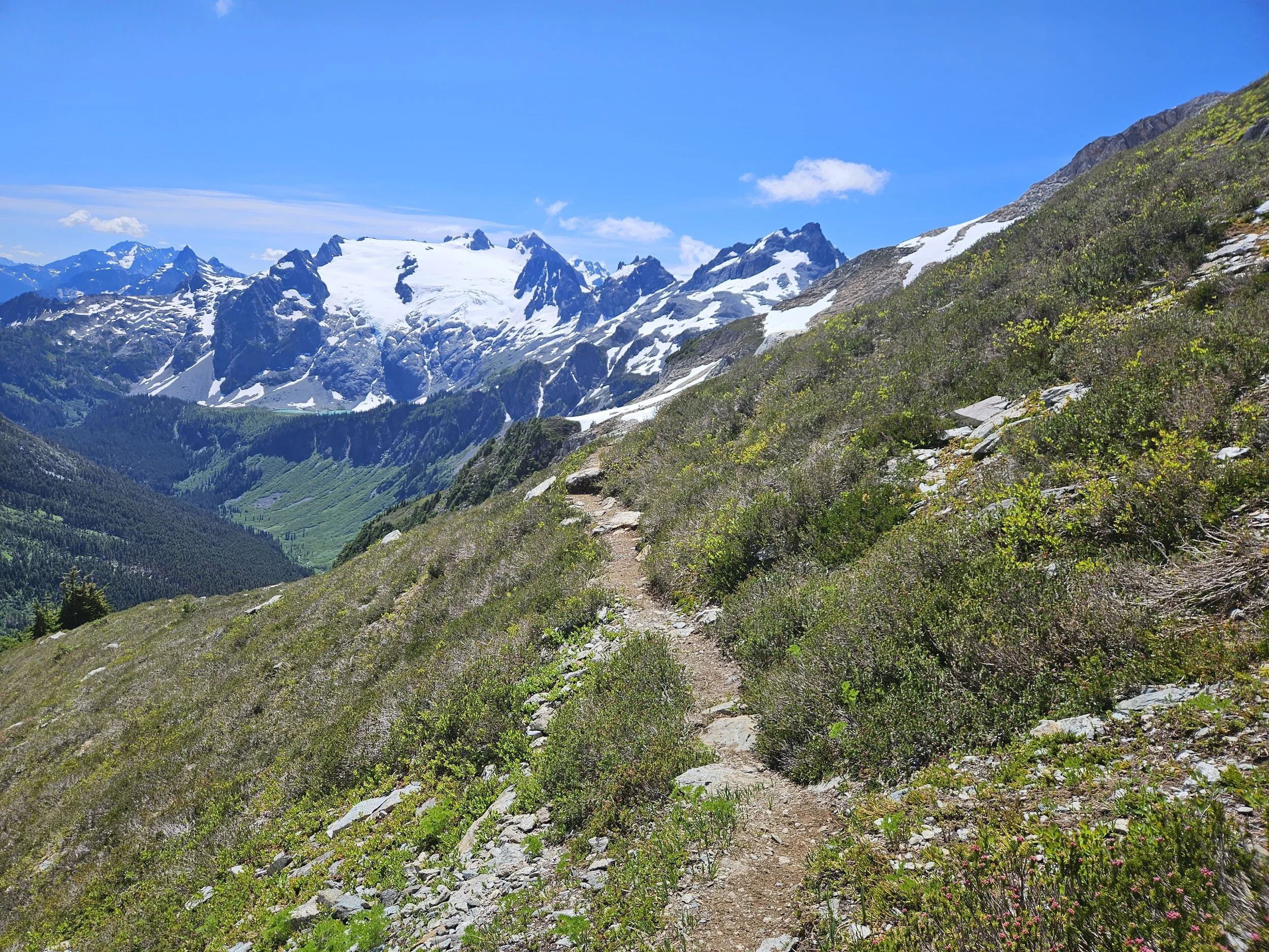
It’s all trail from Itswoot Ridge to the end. There is a sneaky and steep 500’ climb to get above Cub Lake that felt like one of the most difficult stretches of trail on the trip. It was hot in the sun, and on tired legs that little hill kicked my ass. The Bachelor Creek Trail was fairly overgrown and had alot of muddy sections to step around but was easy enough to follow. There were quite a few blowdowns as well, mostly step overs, only a few crawl unders. When the trail was covered or unclear there were typically flags showing the way. Downey Creek Trail to the end is cruiser outside of a few blowdowns.
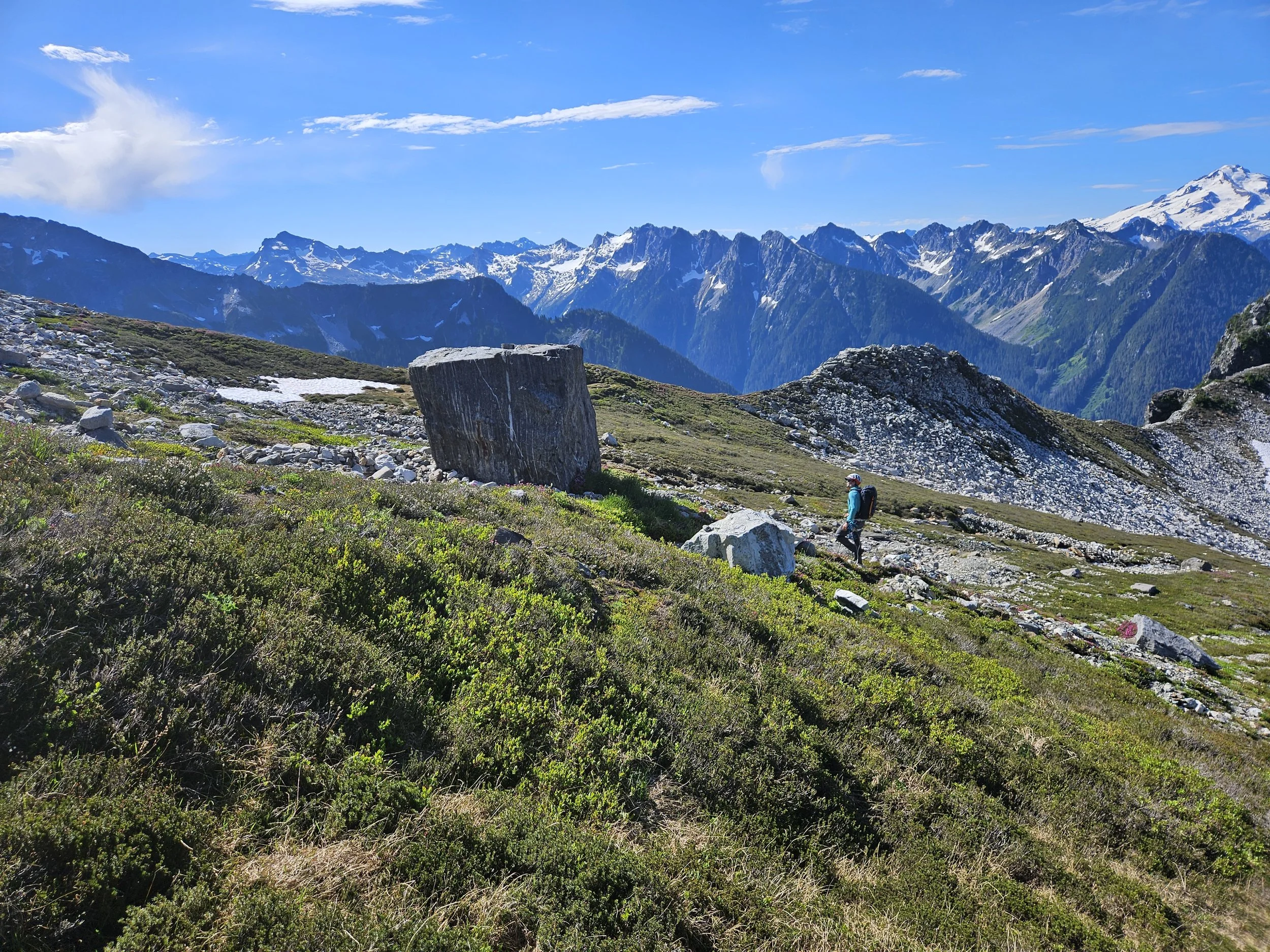
This boulder was giving off some other worldly energy. Easily my favorite rock of the trip.

Cub Lake and Glacier Peak.
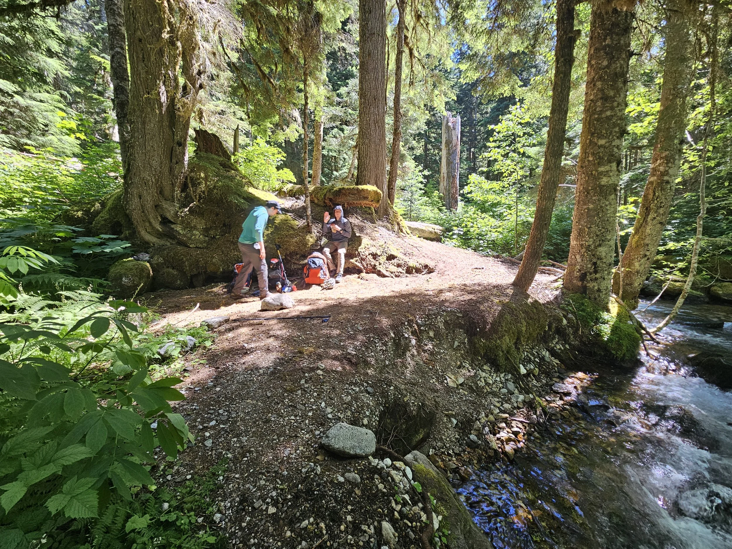
One final break where the Bachelor Creek Trail meets the Downey Creek Trail. 6 miles to go.
Thoughts and Other Details:
-Day 1 Numbers: 15.48 miles, 8,241ft gain, 13:49:20 elapsed time
-Day 2 Numbers: 16.05 miles, 3,169ft gain, 9:37:27 elapsed time
-I wore mountaineering boots for everything up to Itswoot Ridge. At Itswoot I swapped to trail runners to save my feet on the hike out through the woods. I liked this combo.
-I think it was at the Le Conte Col. I looked out at the new landscape that had just revealed itself and I knew for a fact that we are the lucky ones.
-Thankful for friends who love playing in the mountains. Thankful for a body and legs that could take me on an incredible adventure. I’m sure I’ll be back.